Railway Heritage Walking Series

Walk the Old Railway Lines of North Norfolk

🚂 4 walks covered M&GN & Weavers' Way trackbed Flat, easy walking Bure Valley
⚠ Important — Please Read Before Setting Off

NorfolkWild guides are provided for general information only. You are solely responsible for your own safety and the safety of anyone in your group. Always carry out your own research before setting off on any route described on this site.

✓ Plan your route on the Norfolk Trails map
✓ Study a current OS Explorer map before every walk (OL40 — The Broads)
✓ Check the Met Office forecast on the day
✓ Tell someone your route and expected return time
✓ Carry a charged phone, paper map, food and water
✓ Wear appropriate footwear — some sections can be muddy after rain
✓ Keep dogs under control near livestock and wildlife
✓ Assess whether the route suits your fitness and experience
No Liability — NorfolkWild and its authors accept no responsibility or liability whatsoever for any loss, injury, accident, death, damage, delay or inconvenience suffered by any person as a result of following any guide, route, advice or information published on this website. Route conditions and path surfaces may differ from those described. All information is provided in good faith but without warranty of any kind. By following any route on this site you acknowledge that you do so entirely at your own risk. In an emergency dial 999.
Livestock & Cattle — Many Norfolk footpaths cross farmland and parkland grazed by cattle. All livestock should be treated with caution. Never walk between a cow and her calf. Keep dogs on a short lead, but let go of the lead rather than holding on if cattle become aggressive. Stay calm, do not run, and walk on quietly around the edge of the herd rather than through the middle. If you feel unsafe, calmly leave the field by the nearest gate or stile and find an alternative route.

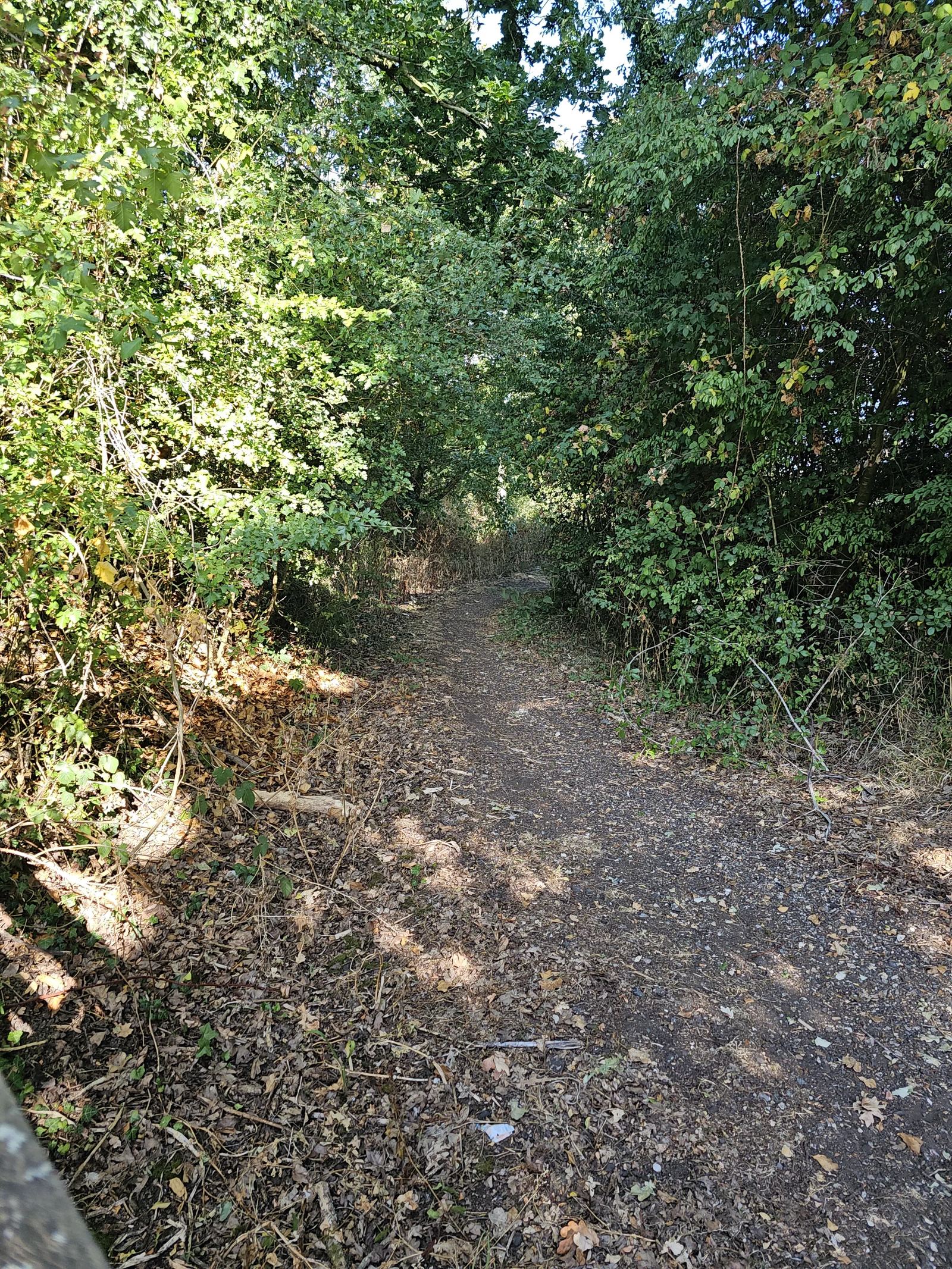
Norfolk lost a remarkable amount of its railway network in the mid-20th century, much of it in the Beeching cuts of the 1960s. What's left behind is a gift for walkers: mile after mile of flat, quiet, well-drained trackbed, repurposed as footpaths and cycleways through some of the county's prettiest countryside. No stiles, no steep hills — just the gentle gradient of a railway line, now shared by walkers, cyclists and wildlife instead of trains.

🚂
Walks
4 routes
🗺
Terrain
Flat trackbed
🚉
Era
Closed 1950s–80s
🐕
Dogs
Welcome

A Line Through History

This corner of Norfolk was once criss-crossed by branch lines connecting market towns and villages that had no other fast link to Norwich or the coast. The Midland & Great Northern Joint Railway (the "M&GN", nicknamed the "Muddle & Get Nowhere" by locals) ran services through much of this area, alongside other branch lines serving the Bure Valley and the villages around North Walsham. Passenger services and, eventually, the lines themselves were withdrawn through the 1950s to 1980s as road transport took over — a story repeated across the country following the 1963 Beeching Report.

Rather than disappearing under the plough, many of these trackbeds survive as public paths today — most notably the Weavers' Way, a 61-mile long-distance trail between Cromer and Great Yarmouth that follows old railway alignments for long stretches, and the Bure Valley Path, which runs alongside the heritage Bure Valley Railway between Wroxham and Aylsham. Both feature in the walks below.

Further reading

If the history interests you as much as the walking, The Midland & Great Northern Joint Railway Through Time by Steph Gillett is a photographic record of the whole network, and The M&GN Joint Railway to Poppyland by Rob Shorland-Ball covers the coastal branch to Cromer and Overstrand specifically.

The 4 Railway Walks

Each walk below follows, or passes close to, a stretch of disused railway trackbed. All are flat, well-surfaced, and suitable for most fitness levels — genuinely some of the easiest walking on the whole site.
North Walsham & Dilham Canal walk
Railway Walk · North Walsham
North Walsham: Hidden Waterways & Ancient Oaks
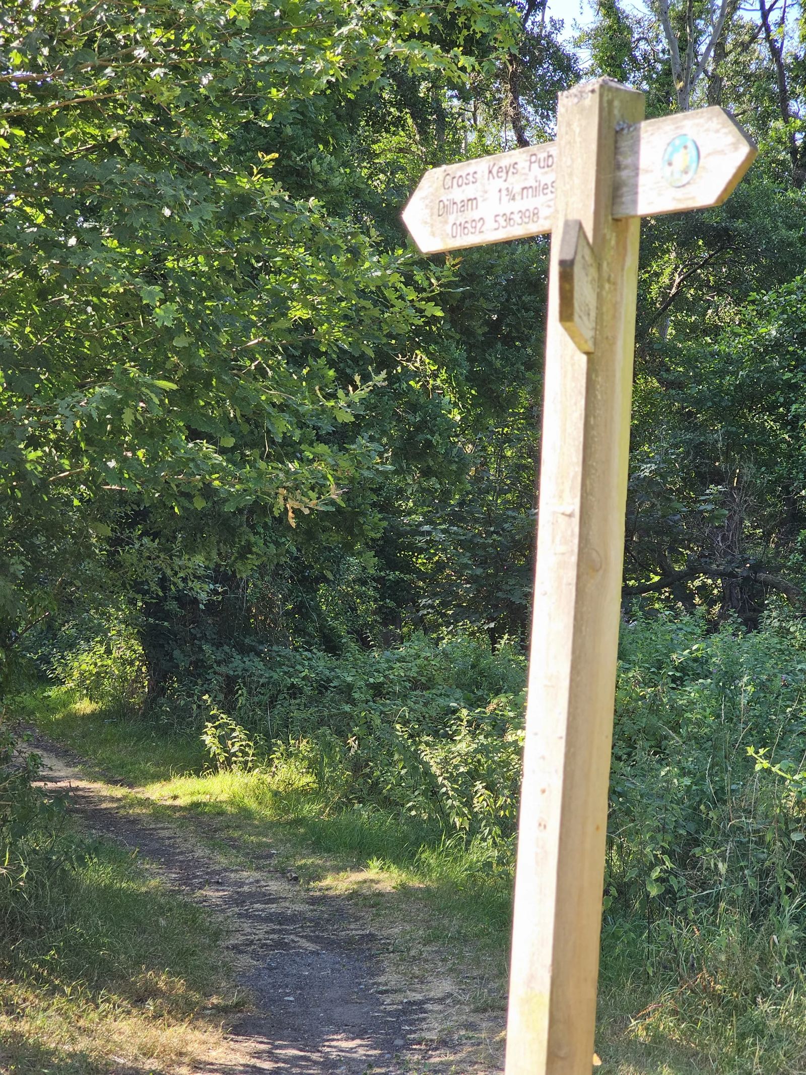
The North Walsham & Dilham Canal towpath and Pigney's Wood nature reserve — flat, quiet walking along one of Norfolk's least-known waterways.
5.6 miles2–3 hours🟢 Easy
Coltishall walk
Railway Walk · Coltishall
Coltishall: Rivers, Railways & Historic Mills
Starting from the old Coltishall Railway Station, the Bure Valley Path follows the river northwest past the historic lock and Horstead Mill.
3.1–6 miles1.5–3 hours🟢 Easy
Wroxham and Hoveton walk
Railway Walk · Wroxham & Hoveton
Wroxham & Hoveton: Waterways & Woodland Trails
The Bure Valley Path runs alongside the heritage Bure Valley Railway between Wroxham and Aylsham — 9 miles of flat, well-maintained trail through the Broads.
9 miles3–4 hours🟢 Easy
Worstead walk
Railway Walk · Worstead
Worstead: Weavers' Way & Village History Walk
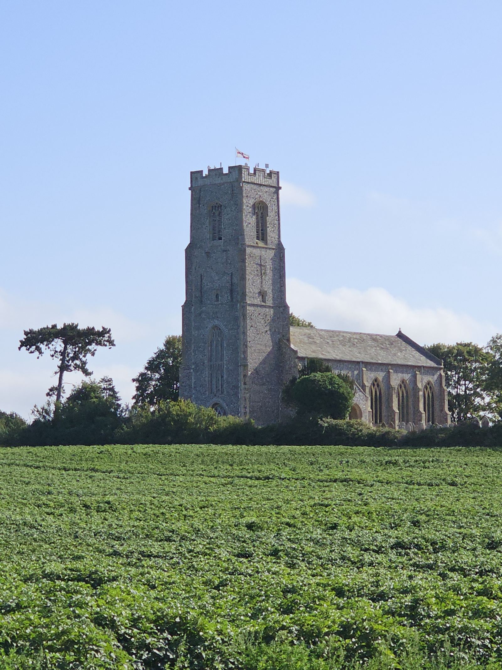
A circular route from historic St Mary's Church using the Weavers' Way trackbed to Honing Bridge — through the village that gave its name to worsted cloth.
5.6 miles2–3 hours🟢 Easy
Planning tip

All four walks are flat and easy enough to combine into a longer weekend if you're staying nearby — Coltishall and Wroxham sit either end of the Bure Valley Path, so a keen walker could link the two, while North Walsham and Worstead share a stretch of the Weavers' Way and are only a few miles apart by road.

🌿
NorfolkWild
Written from North Norfolk. Updated July 2026.